So whats this BIM all about then?
 |
| Not exhaustive, but you can see where we're come from |
But this doesn't affect me........
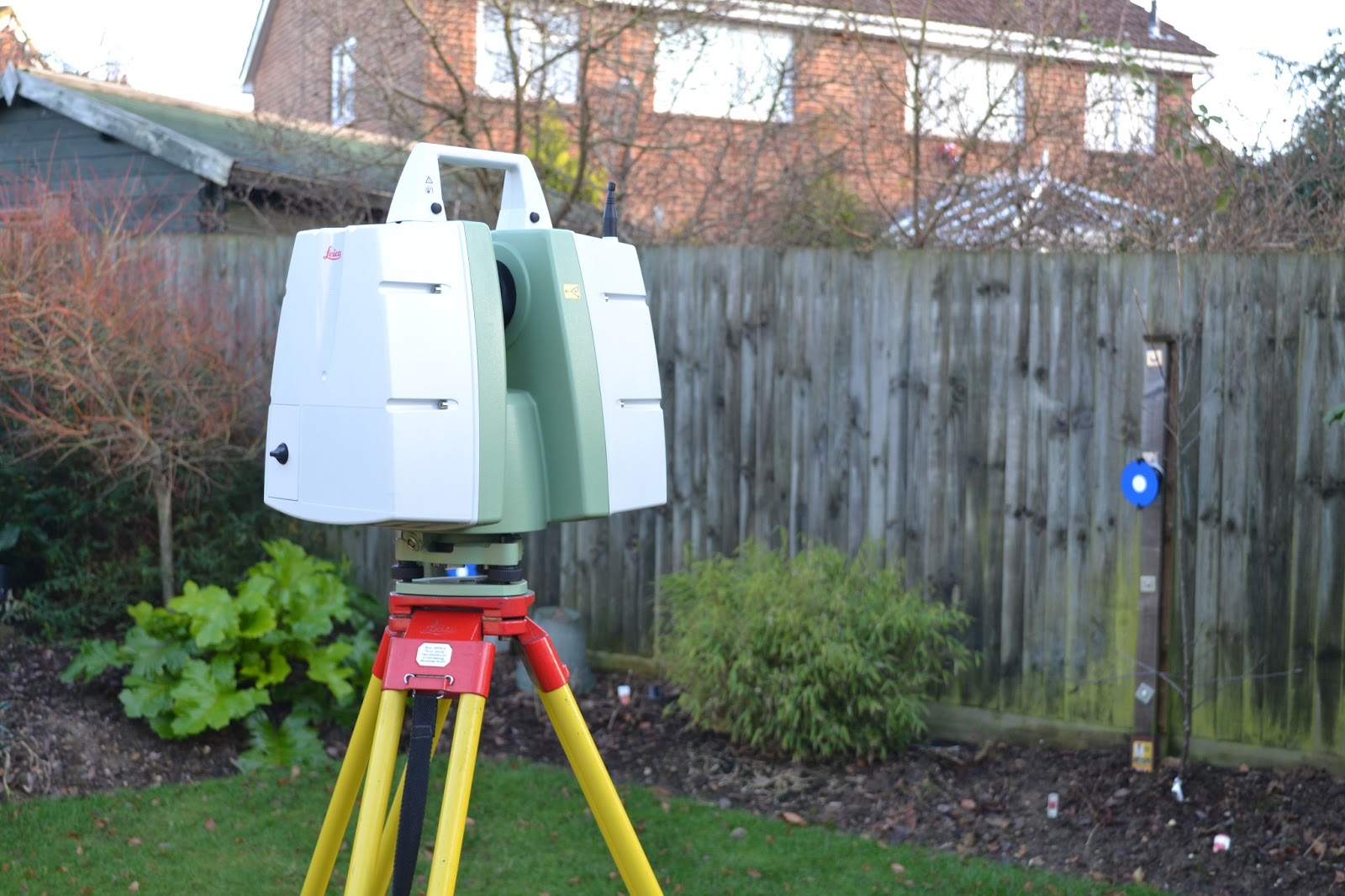 |
| Leica C10 Laser Scanner |
Well the basics lie in the Surveyors ability to create a 3D model of a site, something from a topographical stand point we have been doing for years but from a building stand point we are now having to utilise new technology to produce the required level of detail. As a general rule all buildings are surveyed in 3D and then flattened onto a 2D plane once back at the office, this is certainly true for laser scanning which can be used to create a fully referenced point cloud of a building, both inside and out. The real issue is down to cost, as Surveyors we can create the 3D model, but generally the client is only willing to pay for the 2D, when in reality the 3D has a far greater long term benefit.
 |
| Pure Point Cloud Data |
 |
| Point Cloud Rendered in true colour |
 |
How far can we take you?
As Land Surveyors we can create the template of your existing building in a raw format, and given time we can develop our training to include the production of the bare bones model. From this point on it is down to the Project Managers , and then the Estates team to develop this model to include the various functions it has the potential to record such as :-
- Catalogues of all the light fittings, including replacement dates, suppliers details, costs
- Position & alignment of all cabling and pipes, again with their suppliers and replacement dates
- Basic room details and layouts
The potential is endless, but the on going maintenance of the system is essential. Without constant up dating the system will soon become redundant and the whole process will need to be repeated at a much higher cost. However keeping the system maintained will provide massive time savings when sourcing replacement parts, or even fabricating new elements into an existing system.
Want to know more?
- The BIM task group have been set up by the Government to ensure delivery of the Construction Strategy.
- BIM UK is a central resource containing all references for best practices for incorporating BIM.
- Building.co.uk is a leading construction website covering all elements of the construction industry including BIM.
The last word...
Like it or loathe it BIM is coming and we will all be racing to keep pace with this development which has been common practice in some of our European neighbours for some years.
R L Surveys are Chartered Land Surveyors based in London & the south east. For more details of the services we offer please visit us at www.rlsurveys.co.uk, alternatively we can be followed on Twitter Facebook & LinkedIn.